Trails in Iron County, Utah
link to Trail Resources (maps, apps, miscellaneous, ...)


Apr. 30, 2025
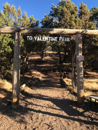
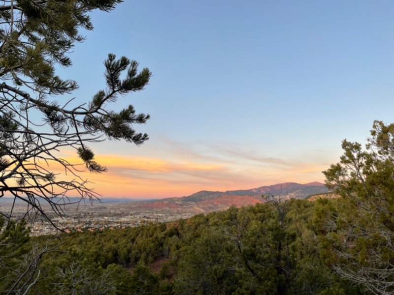
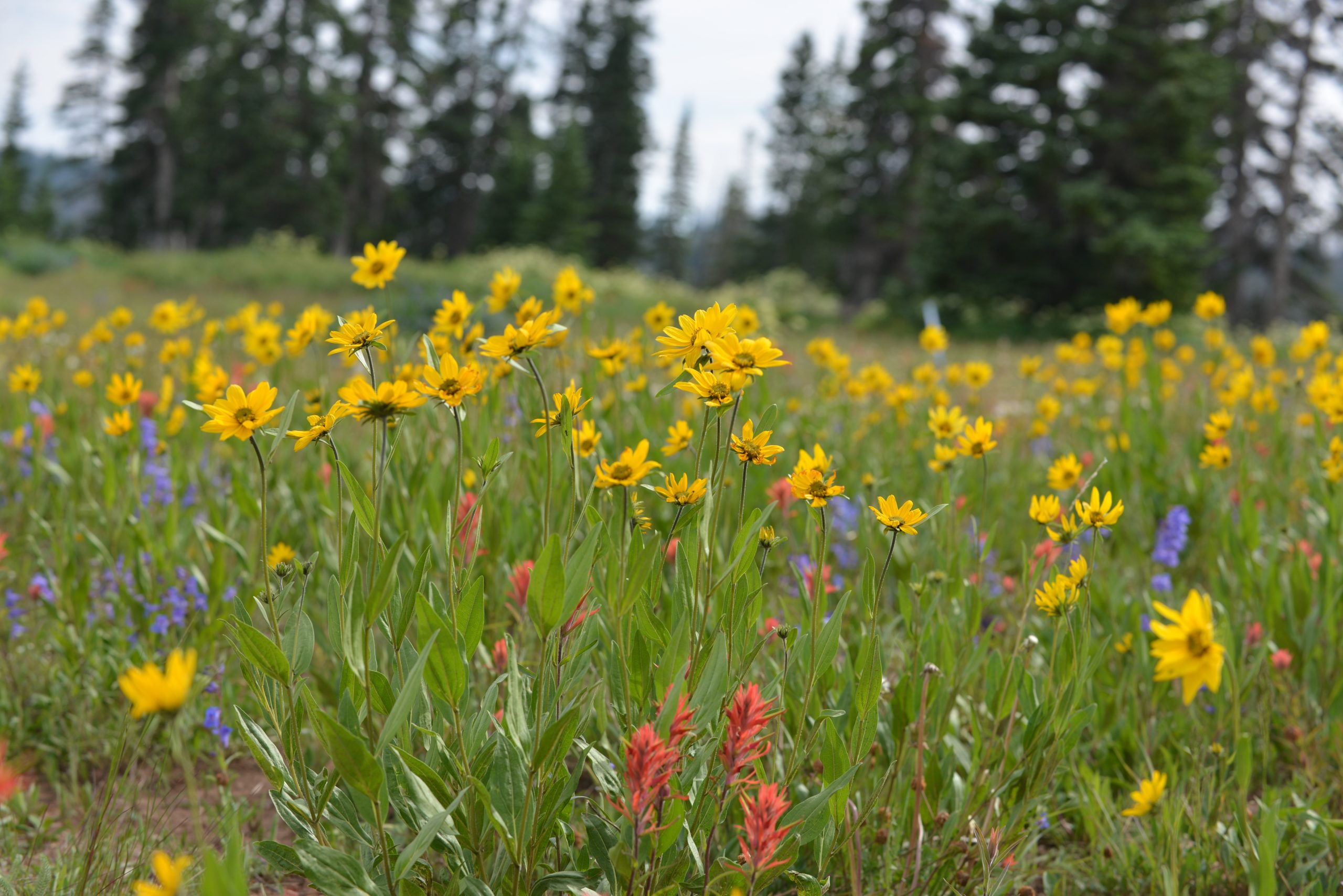
Valentine Peak Trail
This 2,000' vertical, 7 mile round trip trail found behind historic Parowan Cemetary is considered strenuous and potentially challenging to less advanced hikers. Named on Valentine's Day, this trail boast benches and other amenities along the way, including stunning Parowan Valley views.

Apr. 30, 2025
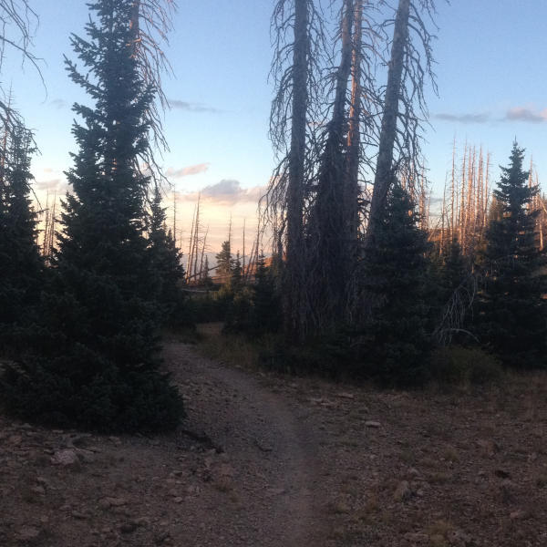
Mega Watt, Electric Loop
Two connected loop trails are found near the bottom of Parowan Canyon. This 2.5 mile dirt, single-track trail is toward the easy side of the spectrum.
Apr. 30, 2025
“C” Trail
Lots of switchbacks grace this 1.29 mile trail. Hiking and bicycling are activities on this moderate to difficult path on the eastern side of Cedar City.
Apr. 29, 2025
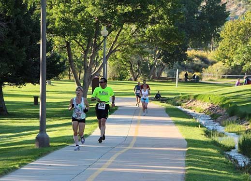
Coal Creek Trail – Skate Park to Canyon Trail
With a distance 2.65 miles, this Cedar City walking & biking trail section is easy to moderate.
Apr. 29, 2025
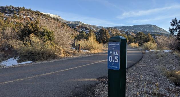
East Bench South End to “C” Trail Entrance
With a distance of 2.65 miles, this Cedar City walking and biking trail has easy to moderate accessibility. This trail connects the Coal Creek trail at Canyon Park with the South View Trail Head.
Apr. 29, 2025
Breaks Trail
A newly constructed trail in the Iron Hills Trail System. It will be a flow trail with intermediate difficulty opening in Spring 2025.
Mar. 30, 2025
Red Hollow
For bikers, Red Hollow is a quick and straightforward descent. It is best ridden from Thor's Hideout down to the Coal Creek paved path. This trail is also frequently used by hikers. Located in Cedar Canyon.
Feb. 13, 2025
Brian Head Town Trail
Following right along Hwy 143 in Brian Head, the trail provides pedestrian or bicycle access to the various condos, restaurants, and shopping. The trail is paved between Hunter Ridge, Bristlecone Pond, and Georgs (most of this is plowed during the winter). The Town Trail provides a beautiful, non-motorized, connecting spine to Brian Head's other trail areas and amenities.
Feb. 13, 2025
Manzanita Trail – Brian Head, Utah
Trail traverses along Manzanita covered red rock slopes providing beautiful vistas of Brian Head and Parowan Canyon. Main trail to overlook distance is 1.2 miles of easy, dirt, singletrack. Keep your eyes open for rare and very old Bristlecone Pine trees along the route. Connects with Town Trail at intersection of Aspen Drive and Hwy 143 to provide pedestrian access to ski areas, shopping, and dining.
The question is not what you look at, but what you see.